The objective of this hike is to spend three days exploring the western side of the Aberdare Mountain Range with ultimate fulfilment of reaching the Karuru Waterfall. It is an excellent route for hikers looking to acclimatise in preparation for a Mount Kenya or Mount Kilimanjaro trek, thanks to its steady altitude gain and varied terrain.
| Location | Aberdares |
| Starting Point | Kahuruko forest gate |
| Ending point | Kahuruko forest gate |
| Walking Duration | 3 days |
| Terrain | Motorable road or mashes |
| Difficulty | Easy |
| Elevation gain | 600m and 300m |
Day 1: Kahuruko Forest Gate to Mutubio Park Gate
The hike begins at the forest gate in Kahuruko. After lacing up your boots, you follow the tarmac road leading up to the park gate.
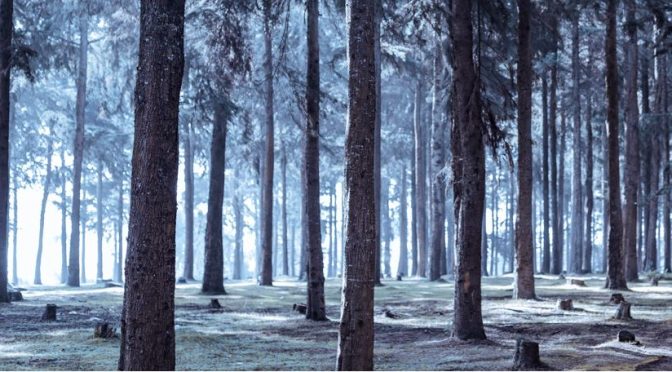
The trail starts through an afforested section managed by the Kenya Forest Service (KFS), which soon transitions into dense bamboo forest. As you progress, the road becomes quieter and more challenging, meandering steadily uphill.
You will climb from approximately 2,600 metres above sea level to about 3,200 metres. The gradual ascent makes this a good acclimatisation stretch.
Overnight: Pitch camp at Mutubio Park Gate.
Day 2: Moorland Exploration and Karuru Area
From Mutubio Park Gate, walk down a motorable road for about half a kilometre, then turn right into the moorland.
The terrain opens up as you descend gently toward a catchment area that feeds a tributary of the Karuru River. You will follow animal trails along the edges of this landscape until you reconnect with a road.
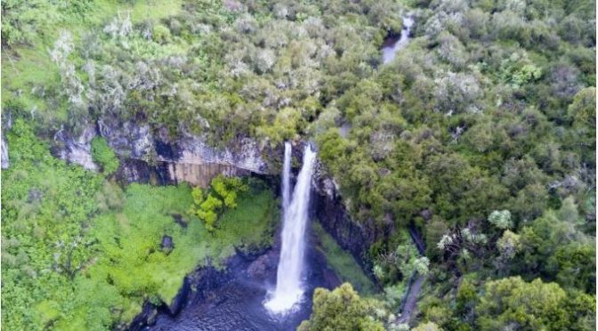
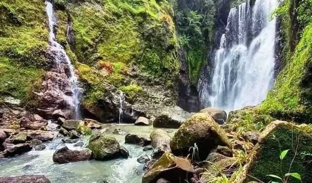
Once back on the road, continue walking until you reach the campsite. After a short rest, proceed down a steep path leading to a series of bridges crossing crystal-clear streams. From here, climb up to the viewpoint for spectacular scenery.
Alternative Route:
Instead of descending into the moorland, you can remain on the motorable road from the gate until you reach the first right turn. Follow this path to the campsite and continue onward to the viewpoint.
After exploring, return to Mutubio Park Gate.
Overnight: Camp at the park gate.
Day 3: Descent to Kahuruko
Begin your descent early in the morning. The return journey covers approximately 10 kilometres back to Kahuruko Forest Gate.
The downhill trek is easier but still requires caution, especially in wet conditions.
Guiding
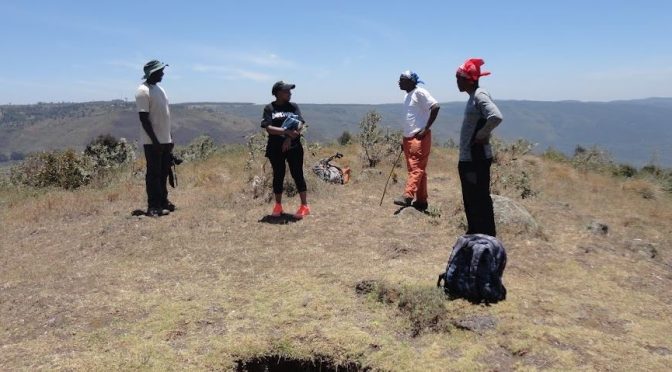
- Kenya Wildlife Service (KWS) rangers are required for this hike.
Fees
- Standard KWS park entry fees
- Standard KWS ranger fees
Getting There
By Public Transport:
- Take a matatu heading to Kahuruko.