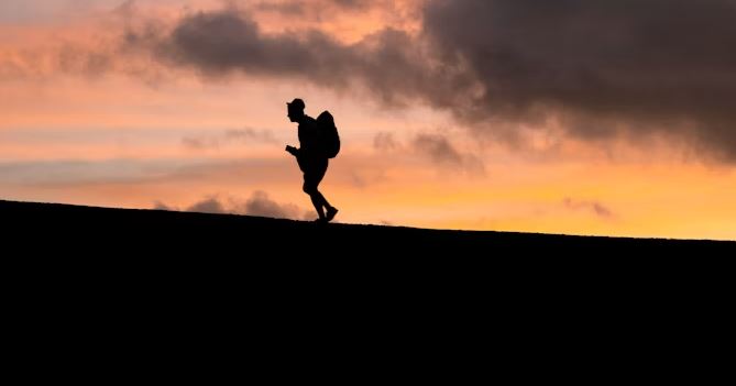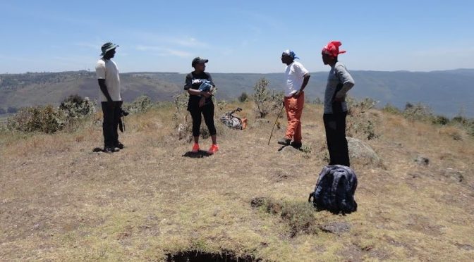
Caving is one of those outdoor adventures that delivers a raw, unforgettable thrill. In Kenya, it comes with a remarkable variety. Thanks to its rich volcanic history, the country is dotted with an extensive network of caves. Many of these caves remain largely unexplored. For anyone drawn to the underground world, Kenya offers the kind of adventure that could take a lifetime to fully experience.
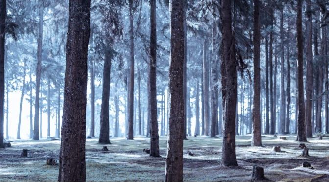
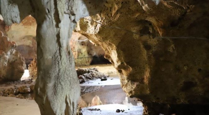
Most of Kenya’s caves are lava tube caves, formed during ancient volcanic activity. When molten lava flowed downhill, its surface cooled and hardened while the lava beneath continued to move. Eventually, the flowing lava drained away, leaving behind long, hollow tunnels. In some cases, openings formed in the hardened surface. This allowed air to enter and shape the interior into the fascinating cave systems we explore today. The result is a natural maze of tunnels, chambers, and passages—some wide and accessible, others tight and mysterious.
Among the most popular of these is Shetani Cave, whose name—derived from the Kiswahili word for “devil”—hints at its dramatic appearance. Stretching approximately 8 kilometres, it is one of the longest lava tubes in the region and offers an immersive experience of Kenya’s volcanic past. Equally captivating are the Suswa Caves near Mai Mahiu. These caves are unique for their complex structure, featuring interconnected tunnels and even a rare “double-deck” formation, where one cave runs above another. Then there is Leviathan Cave in the Chyulu Hills, an impressive 11-kilometre system that stands as one of the longest lava tubes in Africa. Exploring these caves is not just an adventure—it is a journey through geological time.
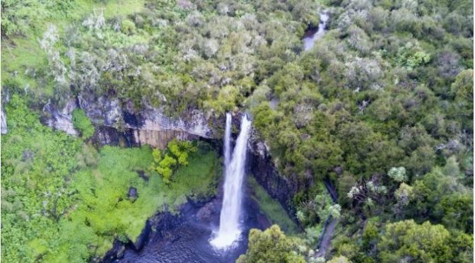
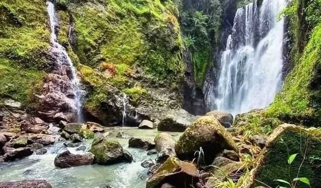
Beyond their geological appeal, caves in Kenya also carry deep historical and cultural significance. Nowhere is this more evident than in the so-called Mau Mau Caves, scattered across the Mount Kenya and Aberdare regions. These are not single, defined caves but rather a network of shelters, overhangs, and hidden chambers tucked behind waterfalls and within dense forest landscapes and farmlands. Many are easy to miss unless you know exactly where to look.
The name “Mau Mau Caves” comes from their use during Kenya’s struggle for independence. During the seven-year insurgency against British colonial rule, freedom fighters sought refuge in these caves. They served as hideouts, supply bases, and places of planning and resistance. Today, visiting these sites adds a powerful historical dimension to the adventure. You are not just stepping into a cave—you are stepping into a story of resilience, sacrifice, and the fight for freedom.
Caving in Kenya, therefore, offers more than just physical excitement. It combines geology, history, and a sense of discovery in a way few activities can. Whether you are squeezing through narrow passages, marvelling at vast underground chambers, or standing behind a waterfall concealing a hidden cave, each experience feels unique and deeply rewarding.
For those interested in exploring these underground wonders, it is important to go prepared. Caving can be physically demanding and sometimes risky, especially in unfamiliar terrain. Proper gear, including helmets, headlamps, and sturdy footwear, is essential. It is also highly recommended to explore caves with experienced guides or organised groups.
A good starting point is the Cave Exploration Group of East Africa (CEGEA), which provides guidance, training, and organised expeditions for both beginners and experienced cavers. Many tour companies in Kenya also offer caving as part of their adventure packages, making it accessible even for first-timers.
In the end, caving in Kenya is more than an activity—it is an invitation to explore a hidden world beneath your feet. One trip is enough to spark your curiosity, but it will never be enough to see it all.
If you want, I can make it more punchy/viral in your signature storytelling style—or tailor it for a blog, social post, or travel guide.
Caves Near Nairobi
Mbagathi Waterfall on the Oloolua Nature Trail in Karen, Nairobi. Paradise Lost located in Kiambu. A
Other notable caves
Suswa Caves are in Mt. Suswa in the Rift Valley. Shimoni Slave Caves of Kwale County, used as holding pens by slave traders Ali Barbour’s Cave in Diani. Kitum Cave is located in Mount Elgon National Park. It serves as a salt lick for elephants. Panga ya Saidi is an archaeological site in Kilifi County. Fikirini Three Sister Caves Located in Kwale County.